
On the 29th of June, a survey of
Fish Canyon Trail (Facebook)
was performed to get a feel for the condition of the trail and to ascertain
how much work is needed to perform repairs. The trail is part of the
San Gabriel Mountains
Trailbuilders inventory of trails, official designation 2310W13
(North 34 degrees 09.901 by West 117 degrees 55.491 at 913 feet for the
boundary of the
Angeles
National Forest) yet formal and systematic repairs have been suspended
for the past 30 due to difficulties not under Trailbuilder control, however
most of those access issues have been resolve to the point where maintenance
may now be performed.
This survey report is intended for the volunteer work crews of the
Trailbuilders and for other occasional volunteer work crews who will be
doing repairs along the trail, hopefully during the up-coming Winter
months. This survey report is also intended to be a summary report for the
impacted city officials (
Irwindale,
Duarte,
Azusa) so that their offices are aware of what is expected and
scheduled to take place along the historic hiking trail.
The
Vulcan Mining/Materials (Corporate
web site) corporation has allowed access to the public lands affording
hiking along Fish Canyon Trail to the waterfall at the historic trail's end,
establishing a very serious parking area for hikers at the end of the
Encanto roadway (North 34 degrees, 09.394 by West 117 degrees 55.427 at 777
feet) which offers safety for hiker vehicles (Vulcan patrols their property
for trespassers which includes the parking area) yet also provides safety
for volunteer vehicles.
The hiking trail from the parking area to the boundary of the Angeles
National Forest is on Vulcan property, and as such volunteer work crews
are not authorized to work on the trail that is on Vulcan property.
Presumably Vulcan would like to enlist volunteer efforts on that section
of the trail however injury liability precludes Trailbuilder
volunteers working on private property, so Vulcan would have to
make arrangements with the public for repairs to be performed on their
property should they desire them.
Vulcan Property:
There are extensive photographs (over one hundred of them) listed below,
starting from the parking lot which Vulcan has established going all the
way to the waterfall at the end of the trail. While this section of the
trail can not be repaired without separate agreements with Vulcan, what
the repairs here consist of are primarily cutting back the extensive brush
and other growth along the trail, some of which at times gets quite dense.
Vulcan has done some very wonderful work establishing trail signage
which seeks to caution people against leaving the trail and walking in to the
riparian area along
which the trail initially follows. Work crews will need to remain cognizant
of the fragile waterway in that during cooler months usage of gasoline-powered
saws, fuel and oil must be securely contained within the Forestry-approved
containers all through repair efforts.
Along Vulcan's private property section of the trail there was no
poison
oak visibly growing however within the off-limits riparian area of the
Vulcan section, poison oak is certain to be growing, and growing very well.
ANF Property Boundary:
At the Northern end of Vulcan property a cyclone fence marks the boundary
to the public property, and Vulcan has established a fairly large staging
area with nature signs and corporate propaganda, all of which is patrolled
by Vulcan security. The gate in the fence is controlled by Vulcan which
is going to be a problem at times (see the section "Technical
Problems" below.)
Just past the Vulcan property fence is a metal foot bridge crossing the
riparian drainage, and there is tree growth which must be cut back utilizing
hand-cutters. This is small diameter branches however it requires that work
crews access the ground to cut and remove growth which is impacting the foot
bridge.
The far side of the foot bridge has erosion which must be fixed. There is a
gap in the landing of the bridge which needs to be filled in, and the
approach needs to be graded and fixed, an effort taking an hour at most
however the wooden box which holds soil on the far landing must be repaired
as well.
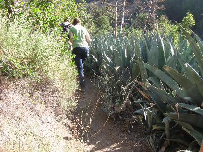
From that point on all the way to the waterfall is primarily brushing and
sluff removal with occasional rock slides, occasional poison oak, and
occasional cactus, all of which must be removed along the entire length
of the trail.
In just two places there are dead trees or large-diameter branches which
must be
bucked up and be
removed from the trail, one of which is just above the riparian drainage.
Hikers climb over the dead tree and walk around the tree branch. The Class
"B" sawyers we have should be able to buck up and remove the
large-diameter tree blocking the trail in about 2 hours, an effort which
will require a sawer, a swamper, and two trail safety guards to stall hiker
access during the saying and removal effort, if any.
There is only one boulder which is being considered to be micro-blasted to
split it in to smaller sections so that it can be removed from the trail
and so that the rock which has piled up behind it can be removed. Two
micro-blasts with one low-energy charges should break the boulder in to
four pieces which should take about 30 minutes however the rock-fall behind
it should require as much time for removal by hand.
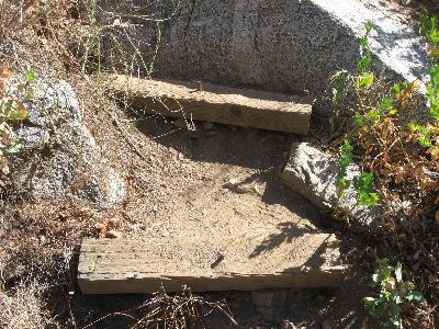
There is a series of wooden steps which hikers come to next which hikers
have been bypassing, taking a temporary "use trail" to the left
of the wood steps. The Trailbuilders will need to decide whether to put
access back through where those steps are and blocking off the temporary
access, or whether to adopt the new access and remove the wooden steps.
From that point on there are a number of other wooden stair steps and two
wooden, short foot bridges, all of which needs to be repaired. Mostly of
note on some of those wooden steps is the placement of
rebar which protrudes
from the top of the wooden steps. Once repairs are performed, the rebar
must sit flush with the wood, either by seating the rebar in to the ground
or by cutting with a saws-all.
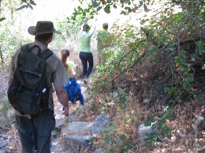
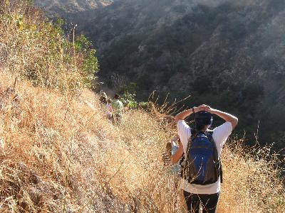
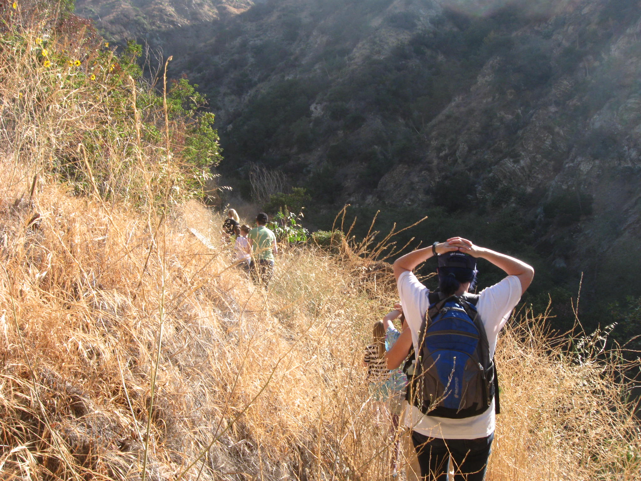
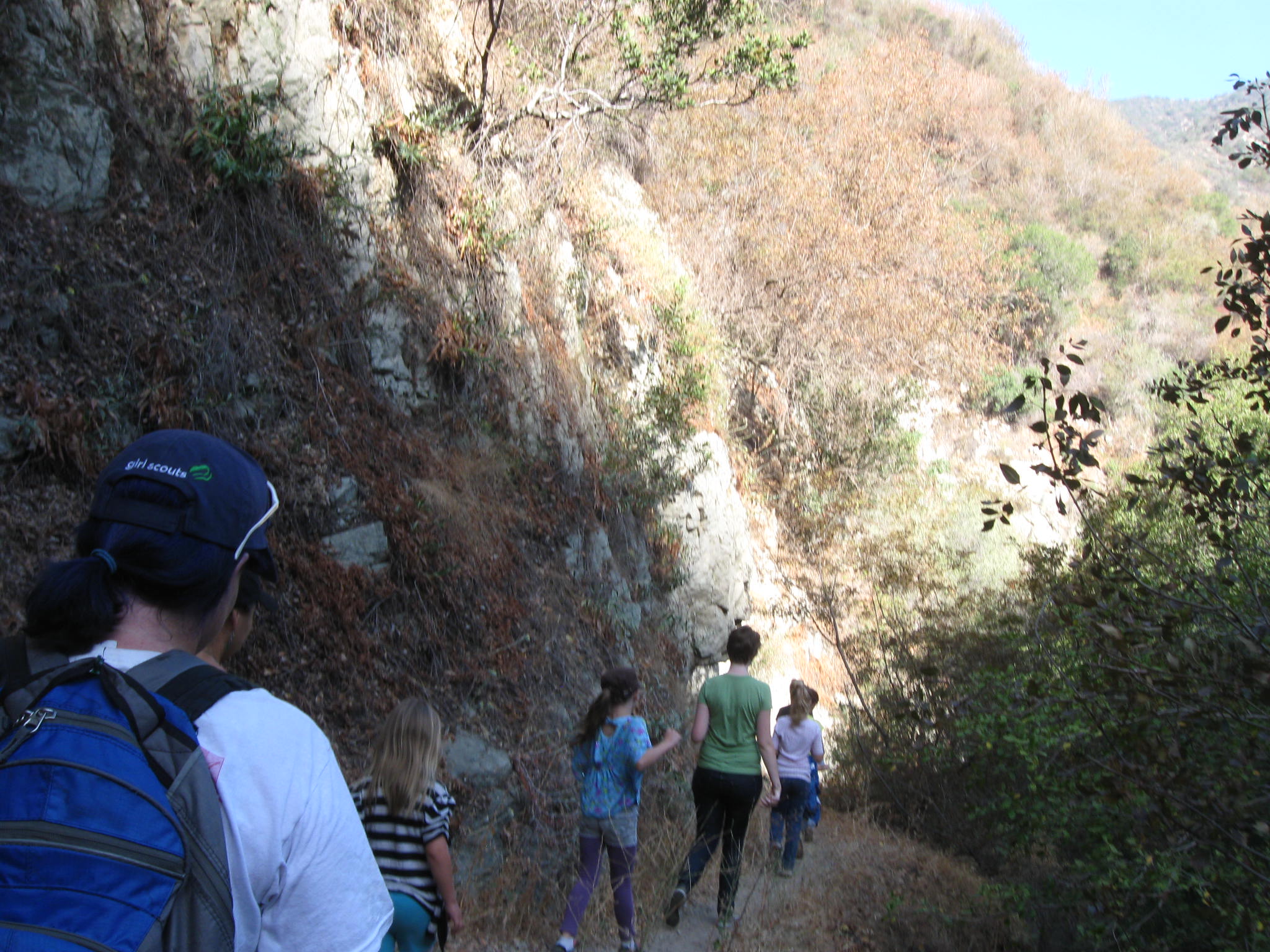
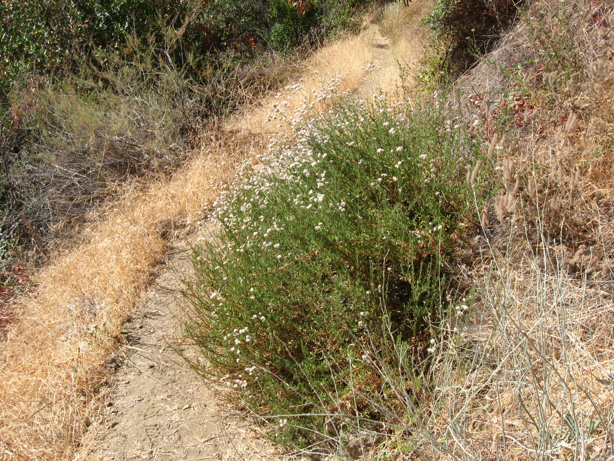
Along the trail there is sufficient brush growing that hikers are diverting
their feet and walking along the down-slope of the trail causing erosion
and constituting a potential hazard to themselves as they lean away from
the brush.
In other areas of the trail the growth is heavy enough to block visibility
f the trail ahead, a problem which is only significant when there are trail
runners of bicycles. As this trail is not multi-use and is designated
for foot only, we do not need to worry about bicycle or pack animal access,
and because the trail is a fairly short one, trail runners will likely be
few, however we need to improve visibility in some of the high-growth,
densely grown areas.
Also because horses, mules, and llamas are not expected to be on the trail,
the traditionally-mandated width of the trail to allow cargo is not needed,
and the overhead clearance for seated horse riders is not needed. Volunteers
can focus on the tread and prioritize repairs and maintenance for feet hiking
only.
Along the trail there are a few signs which have spray paint or felt marker
graffiti which must be removed. There is also a corrugated metal sheet with
graffiti which must be cleaned off. Also along the way are some metal debris
which should be cut up and be removed.
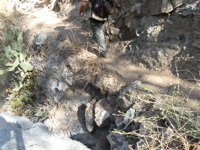
Only at two points along the trail are there what is considered to be
potential safety hazards which the Trailbuilders will need to examine with
their engineers to see if there are any reasonable mitigation efforts.
The first are narrow (4 inches by one foot) wooden steps which drop down
quickly from the trail which basically leads almost straight down for about
10 feet. The second is at the end of the trail where one must walk along an
exposed granite ledge which is about 16 inches wide to access the actual
plunge pool. That
ledge can be widened by about 8 inches using a hammer drill to break up and
remove the highly fractured San Gabriel granite assuming widening is
determined to be desired by the Trailbuilder engineers.
Historical Features:
Because this trail is historical, repair crews will need to attempt to
retain the current lay of the trail, not diverting it in the least. At
the same time the existing wooden steps and wooden foot bridges should be
retained exactly where and as they are, with only repairs being performed
to re-seat the wooden steps and with the safety of the bridges being
improved as needed.
The one area where the temporary use trail has been established might be
an exception. We may wish to remove the steps that are no longer being used
unless we decide to re-establish the original path which uses the steps.
The exception is the metal debris along the trail which, despite being
historic, are still within a riparian drainage and presumably should be
removed since it's pollution.
Repairs And Schedules:
The glut of work that is needed is to cut back the brush and to shovel off
the rock and dirt that has come down along all 2 miles of the trail which
is on public land.
The time it takes to perform all of that work for the entire length of the
trail depends upon how many volunteers we have on any given work day,
however assuming 6 volunteers for each time out, my first estimate is that
12 or 14 work days would be needed.
For extensive cactus and poison oak removal, additional days would be
needed, separate from the normal work days if only because protective
behavior must be utilized for that part of the repairs. Highly experienced,
professional Trailbuilder volunteers is needed for that, wearing protective
PPE to mitigate extensive contamination from plant toxins, and to work with
the puncturing cactus.
A single day is needed to buck up the dead tree obstructions.
Repairs for the trail might conceivably begin this Winter, 2014 however
prior to that some of the work required which is outlined in this report
may get done much sooner, with the dead tree obstruction taking priority.
Tools And Equipment:
Shovels,
McLeods, and
loppers are the only tools needed for the vast majority of the work that
needs to be performed however to rework the wooden steps and re-set them,
pickaxe will be needed.
For the specialized work, chainsaw, fire extinguishers, fire shovel,
medical equipment, and possibly the low-energy, low-speed micro-blaster
to split a boulder would be needed.
Technical Problems:
The Vulcan Mining/Materials corporation continues to violate previous
agreements with the impacted Foothill cities, and among the most detrimental
difficulty with the corporation is their stated plans to block access to the
trail after 7:00 p.m. in Summer months and after 5:00 p.m. in Winter months,
and the corporation plans to have people's vehicles towed by the local
police department if people are unable to remove their vehicles after
Vulcan locks their gates (which they have kept in order to continued to
control access to the trail.)
This difficulty is not insurmountable yet it means volunteer work crews
will have to complete repairs for the day early enough to pack up tools
and equipment and be at the parking lot significantly ahead of the time
of the proposed locking of Vulcan's gates.)
Another potential technical difficulty may be the overwhelming popularity
of the trail once it is well known that access has been re-opened. Working
on a trail which is well-used is a common practice with the professional
trail crews however many times all work stops while hikers pass the work
sites so we might expect prolonged pauses in repair efforts during the
Summer months.
Disclaimers:
This is a summary survey report intended for internal use, and the
opinions, comments, and the statements within this web page may not be
those of anyone but the author.
 Vulcan property, trail sign, high growth along the trail
 Vulcan property, high growth along the trail
 Vulcan property, high growth along the trail
 Vulcan property, hikers have been pushing back some of the growth
 Vulcan property, more dense growth along the wet areas of the trail
 Vulcan property
 Vulcan property
 The boundary, the fence between Vulcan and the Angeles National Forest
 Metal bridge needs tree branches to be cut back
 Far landing of the foot bridge needs to be filled in, there is a gap
 The incline immediatly after the foot bridge is where treat repairs begin
 Dead tree branches along the way need to be bucked since they are heavy
 Brush makes hikers walk along the side of the trail
 A boulder which is being considered for splitting and removal
 Rock fall along the trail can be removed by hand, most of it is light work
 Abandoned stairs -- Temporary use trail on the left
 Much of the trail is narrow, McLeod is needed to widen trail to normal width
 Tree branches which need to be bucked up and removed
 Much of the trail has areas where hikers hold their arms aloft to avoid brush
 A look down in to the drainage from the hiking trail
 Much of the trail is like this, fairly wide tread with McLeod for brush
 Walking over rock fall
 Another look in to the drainage below under the trail
 Another look at the trail, clumped brush hanging over the trail
 Another look at the water below, a constant reminder we have environmental
 Another look at the hikkside above the trail which is fairly common
 Some areas enter in to shaded parts of the trail, poison oak!
 A set of wooden steps which needs considerable repairs
 Another look at the wood steps. These are not as badly displaces as others
 Rebar! Sticking out of the wooden steps. This one is bent over, others are not
 Much of the trail is like this, brush motivating people to walk on the edge
 The trail enters in to dense jungle :) Visibility along the trail drops
 Metal sheeting which needs writing to be removed or painted over
 Another set of tree branches which need to be bucked and removed
 Another look in dense section which has lowered visibility
 Another look in dense section which has lowered visibility
 Writing on nature signs must be removed with solvents
 Another look in dense section which has lowered visibility
 The dead tree blocking the trail which needs to be bucked up
 The dead tree blocking the trail which needs to be bucked up
 Other broken-off branches near where the tree is down need to be trimmed
 This stump is protruding and has low visibility and needs cutting
 Poison oak along the trail requires thoughtful removal
 Two tree trunks which should be cut back further though not in the trail
 Cactus along the trail needs to be removed thoughtfully
 The next set of wooden stairs which needs to be re-seated
 These wooden steps have rebat protruding up from the steps!
 More erosion from walking along the wide of the trail to avoid brush
 Tree branches in among the brush which must be removed
 Tree branches in among the brush which must be removed
 More cactus which needs to be removed thoughtfully
 More cactus which needs to be removed thoughtfully
 Some of the bushes have caused hikers to walk widely around them
 A general look at the trail, poison oak
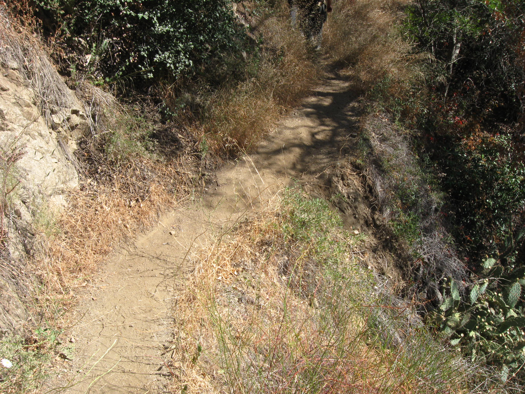 Another general look at the trail conditions
 Overhead brush needs to be cut and removed while retaining its shade
 Trail diverting around brush
 A loko at the general trail conditions in the distance
 More overhead clearing though we do not need to fit mounted horses in this
 Some brush areas obscure the trail footing entirely, making hikers guess
 Potential boulder digging up and removing, depends how much hillside removed
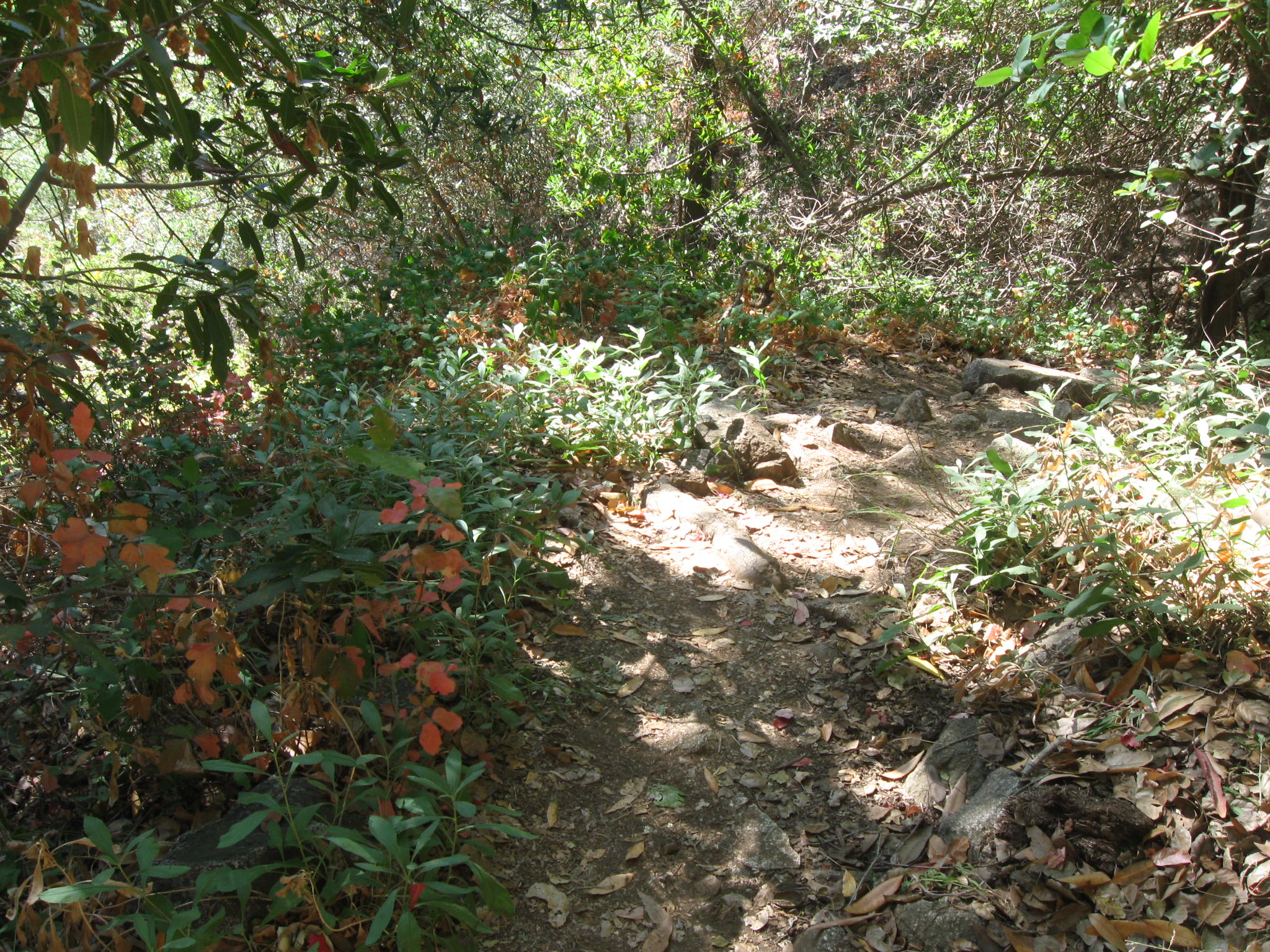 Lush poison oak, and there is blackberry
 At times the trail dips at drainages and rises again
 General trail conditions, narrow and with brush
 Significant erosion from where people have been slipping off the trail
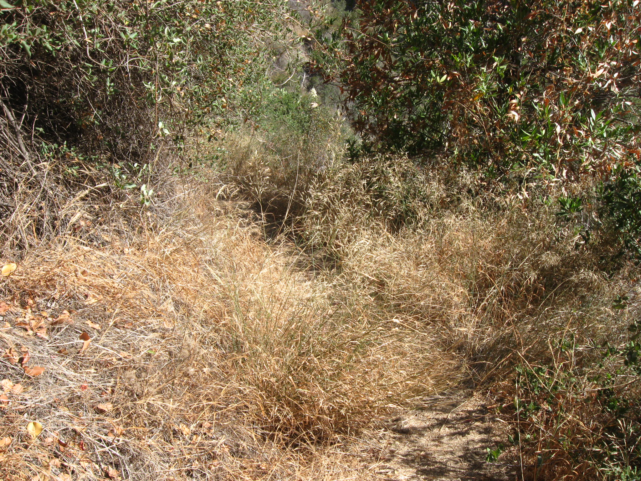 Dense brush obscuring the trail
 Move overhead brush which might need to be trimmed while retaining shade.
 There are a few white markers along the trail
 The first wooden bridge one comes to. Note the white marker
 Small children had some difficulty along the trail at times
 A general look at the trail and the general canyon area -- looking back
 Dirt slides like this one must be removed up against the up-hill rock face
 Another boulder which needs to be removed, perhaps with micro-blaster
 There is another wooden bridge under all that dirt
 A better look at the wooden bridge which is difficult to see
 More wooden steps, most of these are in good shape
 Poison oak and the start of a difficult wood step section
 Hikers scramble down these steps
 A possible re-route of the trail to bypass steps is covered in poison oak
 A closer look at the wood steps which go down the hillside
 Rock fallwhich should be removed
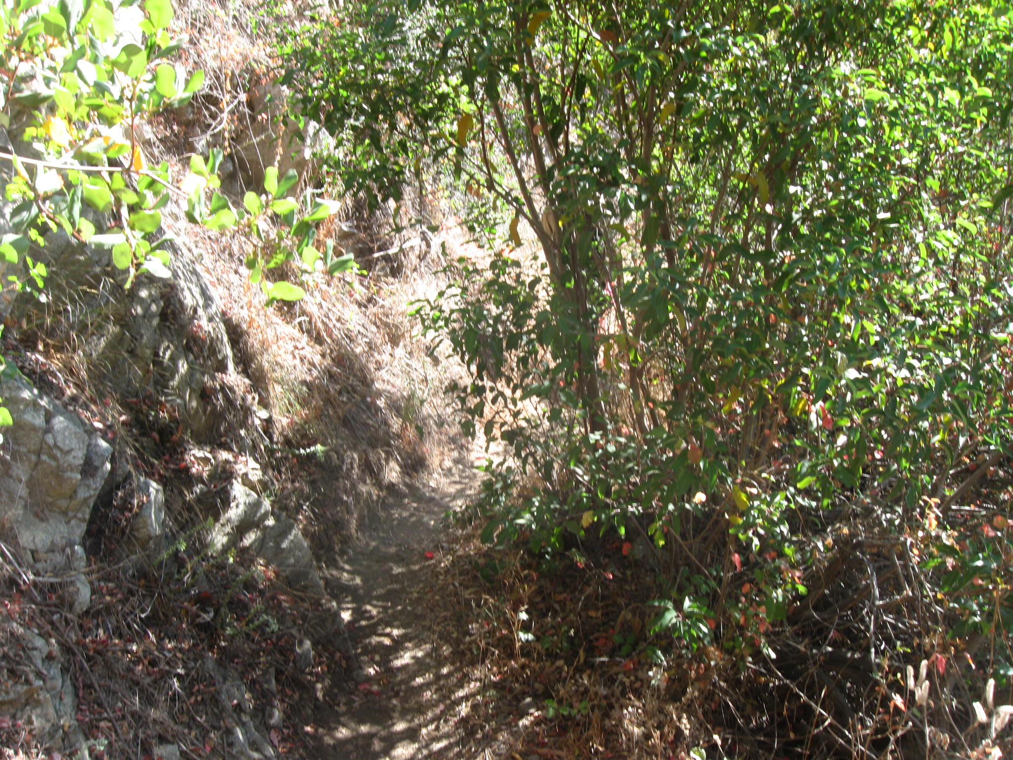 More poison oak and close trail conditions
 Narrow trail, brush on one side, rock face on the other side
 Narrow trail, brush on one side, rock face on the other side
 Narrow trail, brush on both sides
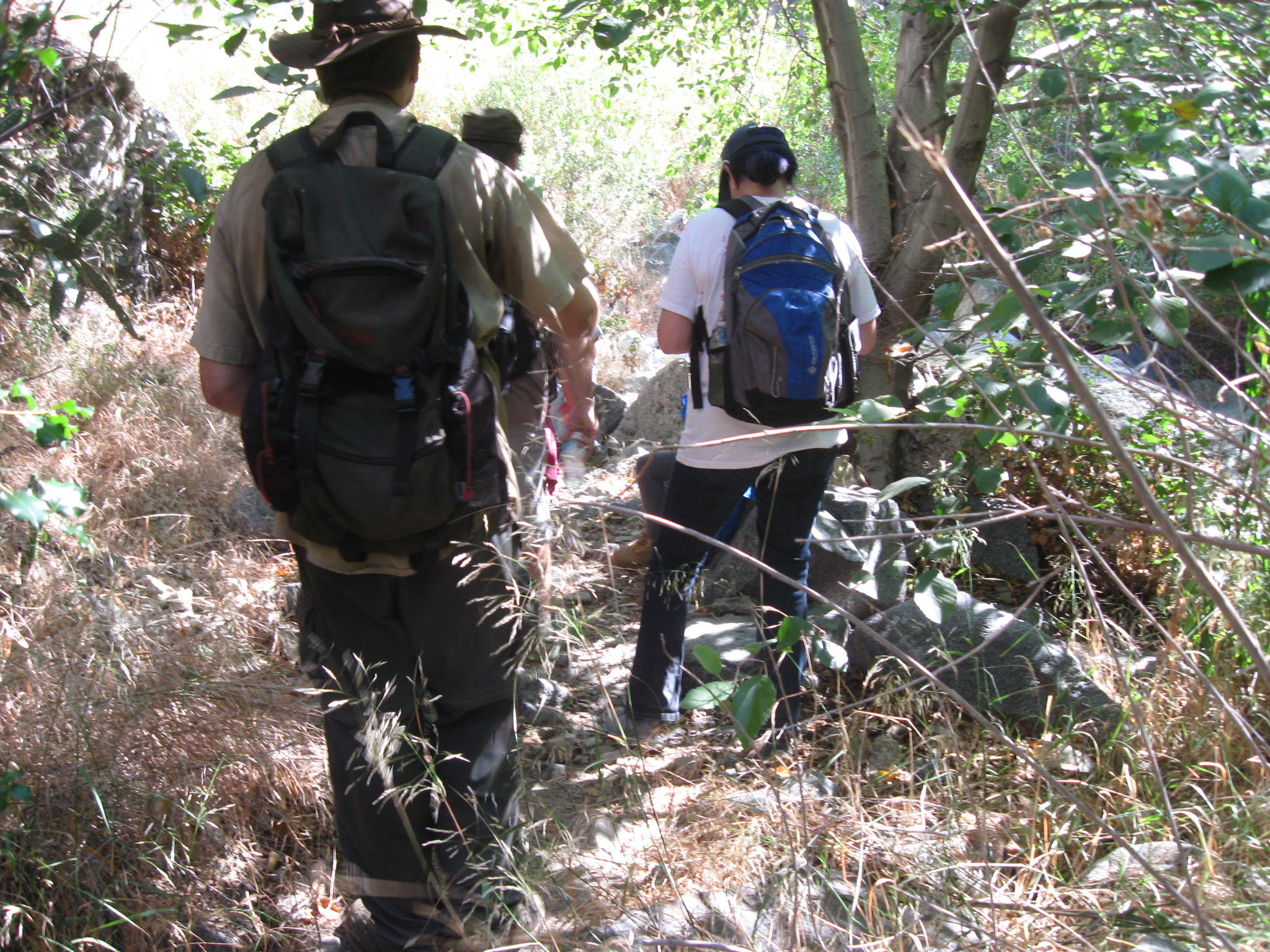 Some parts of the trail have one-way traffic only, hikers stack up at times
 The trail crosses the drainage at one point (which is dry at this point)
 Some of the slick rock which hikers walk across and children scramble across
 More area where hikers generally hold their arms aloft
 Narrow trail with brush
 There are some exposed rock sections like this one
 A look in to the canyon
 Narrow trail and rock face crowding hikers
 Narrow trail and rock face crowding hikers
 Narrow trail and rock face crowding hikers
 Narrow trail and rock face crowding hikers
 Rock and dirt slide making a narrow trail crowding in to brush
 Brush obscuring the trail
 Brush and tree branches, leaves choking down the trail
 Almost to the waterfall, the trail continues to be narrow
 Another potential boulder to fracture and remove to make the trail strait
 First look at the waterfall rock escarpment -- dry, however
 Brush crowing hikers to the edge and beyond, slide and erosion
 Another high-density look at the waterfall rock escarpment
 Some historic rock wall work is still present and working! After decades!
 Narrow section where widening requires chipping out the rock face
 First look at the plunge pool under the main falls
 Rock platform under the main falls
 There are a number of wet pools of water lower along the canyon
 Illegal and very danger fires are set by people who need to be punished
 More people who need to be punished -- painting the rock
 A wider look at the falls area
 A better look at the next pool of water just below the main falls
 High density photograph of the falls
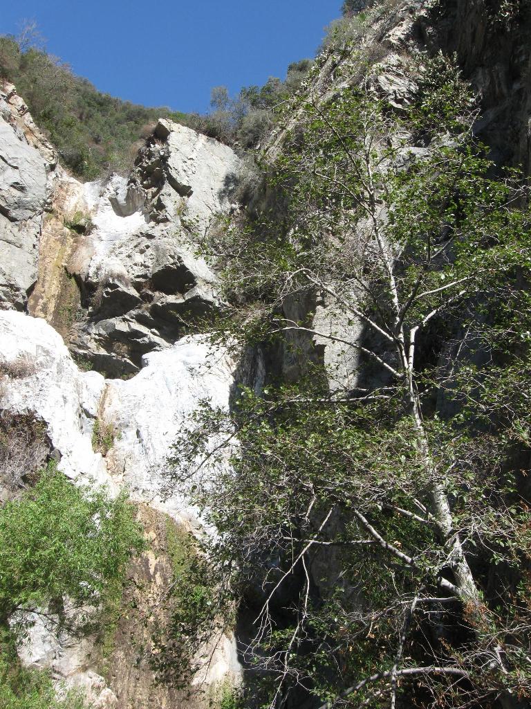 High density photograph of the falls
 We could widen the tread here and probably should
 A look ahead shows how the canyon along the trail is laid
 Berries good to eat!
This web site is not operated or maintained by the US Forest Service, and
the USFS does not have any responsibility for the contents of any page
provided on the http://CrystalLake.Name/ web site. Also this web site is
not connected in any way with any of the volunteer organizations that are
mentioned in various web pages, including the
San Gabriel Mountains
Trailbuilders (SGMTBs) or the
Angeles Volunteers Association
(AVA.) This web site is privately owned and operated.
Please note that information on this web page may be inaccurate.